Total Area: 752,618 sq km
Land Area: 743, 398 sq km
Water Area: 9,220 sq km
Size Comparative to U.S. Territory: about one-tenth larger than Texas
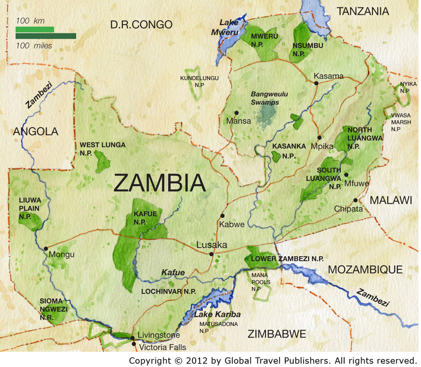
Countries that Share a Border: Angola, Democratic Republic of the Congo, Malawi, Mozambique, Namibia, Tanzania,
Total Distance of all Land Boundaries: 5,664 km
Total Distance of Coastline: 0 km
Description of Climate: Through May-August is cool and dry. Through September-October is hot and dry. Through November-April is rainy.
Description of Terrain: Mostly high plateau with some hills and mountains
Point of Lowest Elevation: Zambezi river 329 m
Point of Highest Elevation: Mafinga Hills 2,301 m